Recent Posts

Geo-harmonizer project mission
The Geo-harmonizer project aimed at reducing problems of harmonizing national data with using seamless modeling techniques over the entire extent of the EU, and "opening data" i.e. making the data easier to access.
The Copernicus land data products and similar data products funded by European Commission played a central role in the reference data framework that determines the quality and traceability of all Copernicus products and services. But many of these layers suffered from limited reproducibility and completeness. By building and implementing Geo-harmonizer we contributed to the Copernicus product in producing new added-value products. For example, we used automated mapping methods to produce annual land cover maps at 30-m resolution for the complete period 2000–2020, the “OpenStreetMap+” (we merged OpenStreetMap data with other EO products) and a number of other value-added layers. We aimed at producing analysis and/or decision ready layers that can be used directly by end-users.
EcoDataCube.eu Portal
We have built an Open Data Portal, a freely-accessible viewer containing gridded layers for Europe at spatial resolutions of 30-m or better! Our maps were produced using FOSS4G software solutions, Machine Learning and Open Earth Observation data.
The Open Environmental Data Cube for Europe data portal / viewer aimed at serving decision-ready layers such land cover, air quality and pollution, potential natural vegetation and similar.
We used topographic data (DEMs), Earth observation (EO) data, hydrological and meteorological data that we mapped using automated mapping systems largely based on spatiotemporal Machine Learning algorithms available in the Open Source software. We then served the data using Cloud-Optimized GeoTIFFs to allow for seamless and unrestricted access. We documented all processing steps through gitlab.com up to the level of full-reproducibility!
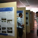
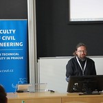
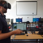
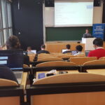
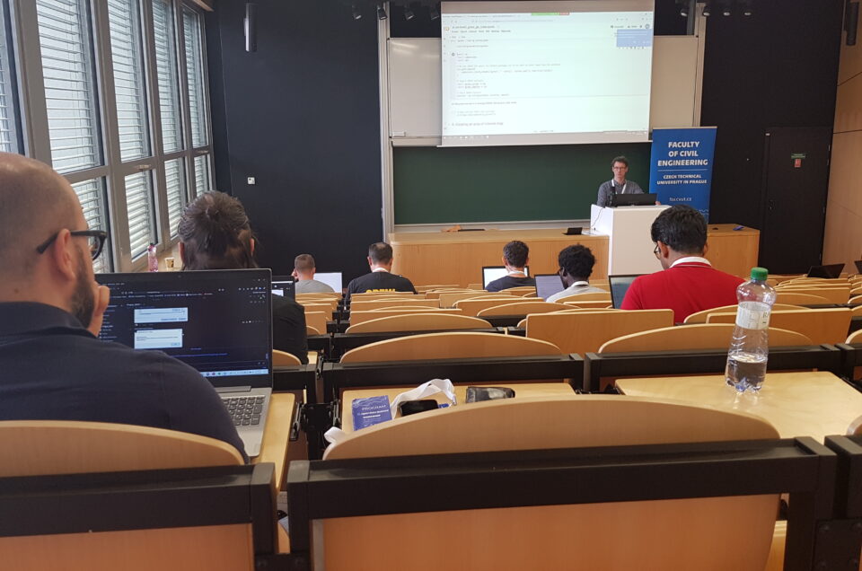
OpenDataScience Europe Workshops
Wageningen International Conference Centre (NL) and Faculty of Civil Engineering, Czech Technical University in Prague (CZ)
A 5-day hybrid events with training sessions for processing data cubes and using machine learning in Open Source, followed by 3 days of conference talks by leading European experts and researchers discussing challenges and opportunities for “Spatiotemporal modelling of European Landscapes and Climate 2000–2020: using EO and Machine Learning” and “Connecting Europe through Earth Observation and Open Data Missions“.
Blog posts
Geo-harmonizer project Prepared by: OpenGeoHub / CTU / Terrasigna Executive summary The...
Geo-harmonizer project Prepared by: Terrasigna / mundialis Executive summary The...
Geo-harmonizer project Prepared by: Terrasigna / mundialis Executive summary The...
Video recordings
All training sessions and conference talks at the ODSE 2021 and ODSE 2022 were recorded and are available online.
Twitter & Medium feed
-
CEF Telecom project 2018-EU-IA-0095.
This project, co-financed by the European Union,
is now officially closed. For any inquiry, please refer to the Open Earth Monitor website https://earthmonitor.org/- The GeoHarmonizer project consortium
- OpenGeoHub, Agro Business Park 10, 6708PW Wageningen, NL
- (+31) (0)317 427537 | | | | |
- coordination-team@earthmonitor.org
Previous events