Recent Posts

Workshop 2021
The Geo-harmonizer project is delivering a number of novel technologies and value-added EU and global data sets to help network national agencies and increase usability of geospatial data products for decision making. The project consortium is organizing an open Workshop to discuss issues with preparing and using Earth Observation and Machine Learning technologies for harmonizing spatial data and mapping and monitoring landscapes and climate.
Workshop 2021 theme:
“Spatiotemporal modeling of European Landscapes and Climate 2000–2020: using EO and Machine Learning”
Workshop topics:
• Dynamic mapping of land cover, vegetation, climate and environmental quality indices,
• Spatiotemporal Machine Learning using Ensemble techniques,
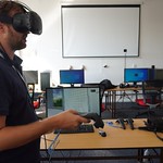
• Earth Data Cubes: spatiotemporal overlay, modeling and visualization,
• Geocomputing and geo-harmonization using Python, R and Open Source GIS GDAL, GRASS GIS, SAGA GIS, QGIS,
• Processing large raster datasets using High Performance and Distributed Computing,
WHERE
Wageningen International Conference Centre (WICC)
Wageningen, The Netherlands
WHEN
Monday to Sunday
September 6 to 12, 2021
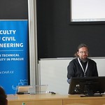
Our Keynotes
Leading experts and researchers presented their insights and project advancements at the ODSE 2021.
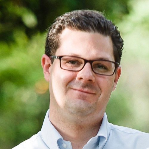
Mark Vella Muskat
Project Officer at European Health and Digital Executive Agency (HaDEA)
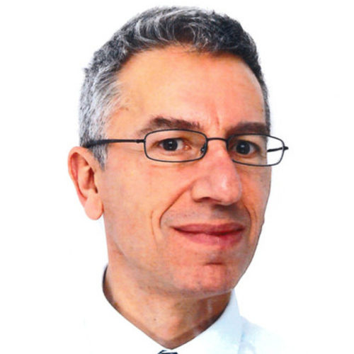
Daniele Rizzi
Principal administrator - Policy officer at European Commission
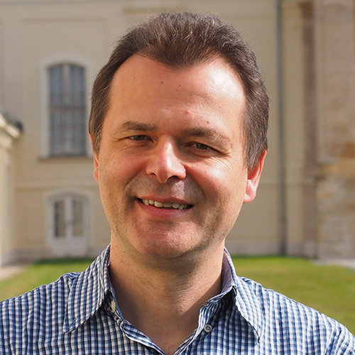
Steffen Fritz
Program Director at IIASA, Vienna
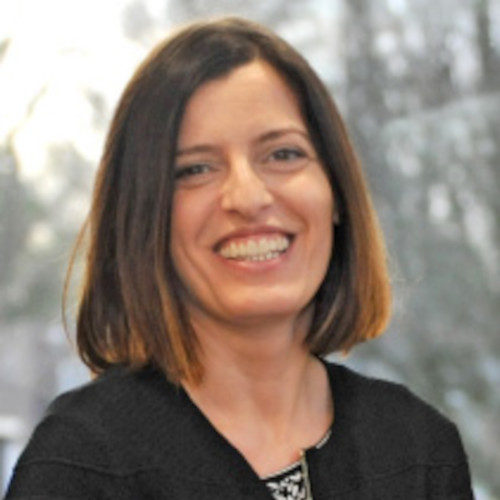
Claudia Vitolo
Scientist at European Centre for Medium-Range Weather Forecasts (ECMWF)
Maria Antonia Brovelli
Professor of GIS and Copernicus Uptake at the Politecnico di Milano (PoliMI)
Martin Herold
Professor Geoinformation Science and Remote Sensing, Wageningen University
Sarah Cheesbrough
Earth Observation Specialist at Satellite Applications Catapult Ltd, UK
Angelos Tzotzos
President Open Source Geospatial Foundation (OSGeo)
Raymond Sluiter
Senior Advisor Data & Applications at Netherlands Space Office (NSO)
Freja Vamborg
Senior researcher at Copernicus Climate Change Service
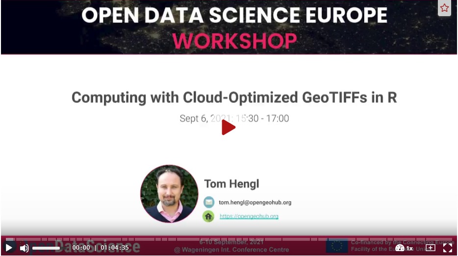
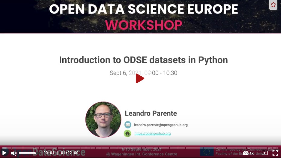
Video recordings
All the sessions of the ODSE 2021 were video recorded. Watch freely-accessible tutorials, talks and discussions!
R Training
Learn basic and advanced functions on R, and applications in geospatial science.

GRASS GIS Training
Learn the novel functionalities of the latest versions of GRASS GIS: 8.
Python Training
Watch more than freely-accessible tutorials on Python, from theory to practice!
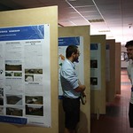
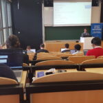
Conference Talks
From September 8th to Friday 10th, 2021, ODSE 2021 gave stage to more than thirty presentations, discussions and demonstrations by international researchers and experts!
Policy
Discover the European policy frameworks for Open Data and in support of European data science projects.
Research & Applications
ODSE 2021 hosted presentations around research advancements, and discussed practical applications of geospatial products and methods.
-
CEF Telecom project 2018-EU-IA-0095.
This project, co-financed by the European Union,
is now officially closed. For any inquiry, please refer to the Open Earth Monitor website https://earthmonitor.org/- The GeoHarmonizer project consortium
- OpenGeoHub, Agro Business Park 10, 6708PW Wageningen, NL
- (+31) (0)317 427537 | | | | |
- coordination-team@earthmonitor.org
Previous events