Recent Posts
OpenDataScience Europe 2021: Key Note Talks
Leading experts and researchers from international projects and initiatives shared their work at the ODSE 2021
Maria Antonia Brovelli - Moving toward Open Geospatial Systems: The UN Open GIS Initiative
Maria Antonia Brovelli, Professor of GIS and Copernicus Uptake at the Politecnico di Milano (PoliMI), introduced the United Nations Open GIS Initiative, an ongoing Partnership Initiative led by the United Nations Geospatial Operations. The Initiative, established in March 2016, is supported by several UN Agencies and mission partners (Member States, technology contributing countries, international organizations, academia, NGOs, and the private sector) and takes full advantage of their expertise.
Maria illustrated the UN position toward data openness, touching various components of the initiative (Working Groups and Pilot Projects), and presented outcomes and results, as well as lessons learned and future developments.
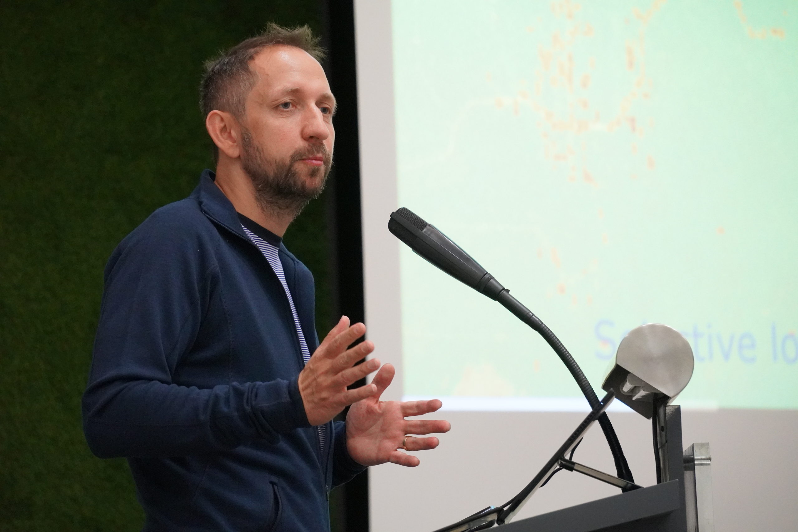
Angelos Tzotzos - Open Source Geospatial Foundation (OSGeo)
Angelos Tzotzos, presented the Open Source Geospatial
Foundation (OSGeo), a not-for-profit organization whose mission is to foster global adoption of open geospatial technology by being an inclusive software foundation devoted to an open philosophy and participatory community driven development. Angelos is the president of the OSGeo.
Gilberto Câmara - sits, an open-source R package for satellite image time series analysis using machine learning
Gilberto Câmara is part of the INPE, the National Institute for Space Research. In his talk, Gilberto described an open-source R package for satellite image time series analysis using machine learning. It supports the complete cycle of data analysis for land classification, while its API provides a simple but powerful set of functions. The software works in different cloud computing environments, including AWS, MS-Azure, and Digital Earth Africa. In sits, satellite image time series are input to machine learning classifiers, and the results are post-processed using spatial smoothing. Since machine learning methods need accurate training data, sits includes methods for quality assessment of training samples. The software also provides methods for validation and accuracy measurement. The package thus comprises a production environment for big EO data analysis. The package is available on https://github.com/e-sensing/sits and the documentation is available on https://e-sensing.github.io/sitsbook/.
Freja Vamborg - Senior researcher at Copernicus Climate Change Service -The European State of the Climate - from data to information and back
Freja Vamborg, Senior researcher at Copernicus Climate Change Service, illustrated the European State of the Climate report: this annual report on behalf of the European Commission provides an analysis of the monitoring for Europe for the past calendar year, with descriptions of climate conditions and events.
Steffen Fritz - Program Director at IIASA, Vienna - Citizens Generating Reference Land Cover and Land Use Data with a Mobile App
Steffen Fritz is Program Director at IIASA, Vienna. In this talk, Steffen discussed the role of citizen science to supplement and enhance massive field data collections, illustrating the example of the LUCAS survey data and the FotoQuest Go Europe 2018 campaign.
Raymond Sluiter - Open European Earth Observation Data, a Copernicus Overview and Outlook
Raymond Sluiter, Senior Advisor Data & Applications at Netherlands Space Office (NSO) discussed an overview and outlook of the EU Copernicus programme around Open European Earth Observation Data.
Martin Herold - Global land cover mapping and assessments
Martin Herold is Professor of Geoinformation Science and Remote Sensing, Wageningen University. In his talk, he explored different projects and initiatives, also at European level, that aim at enhancing the availability of global land cover mapping and the progress in their assessment.
Sarah Cheesbrough - Using Earth Observation Data Cubes for dynamic mapping at scale: A Pacific Perspective
Sarah Cheesbrough, Earth Observation Specialist at Satellite Applications Catapult Ltd, UK, spoke about the EO Data Cube based in the South Pacific region
(Fiji, Solomon Islands and Vanuatu) as part of the IPP CommonSensing project, funded by the UK Space Agency’s International Partnership Programme (https://www.commonsensing.org.uk/).
-

CEF Telecom project 2018-EU-IA-0095.
This project, co-financed by the European Union,
is now officially closed. For any inquiry, please refer to the Open Earth Monitor website https://earthmonitor.org/- The GeoHarmonizer project consortium
- OpenGeoHub, Agro Business Park 10, 6708PW Wageningen, NL
- (+31) (0)317 427537 | | | | |
- coordination-team@earthmonitor.org
Previous events