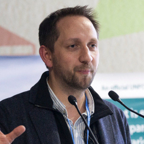
Martin Herold is a professor of geoinformation science and remote sensing at Wageningen University, The Netherlands. He has long-term experience in satellite-based monitoring of land changes and related biomass and carbon emissions, global land cover mapping and assessments, spatial analysis and modeling of land use change, integrating ground and satellite observations, and accuracy assessment procedures and uncertainty management for remote sensing data products.
Archives
Categories
Meta
Recent Posts
Connect to Us
