1.b: Complete documentation and tutorials for basic users and advanced developers
Prepared by: OpenGeoHub and CTU in Prague
Executive summary
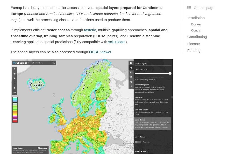
The python library eumap has been built to enable easier access to several spatial layers prepared for Continental Europe (Landsat and Sentinel mosaics, DTM and climate datasets, land cover and environment quality maps), as well the processing classes and functions used to produce them. The library implements efficient raster access through rasterio, multiple gapfiling approaches, spatial and spacetime overlay, training samples preparation (LUCAS points), and Ensemble Machine Learning applied to spatial predictions (fully compatible with scikit-learn). To learn more about eumap and Open Data Science Europe, please access the official documentation and watch some of the demos from the Open Data Science Workshop 2021:
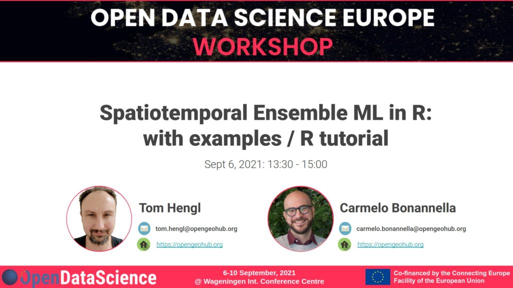
Spatiotemporal overlay and machine learning using the mlr, terra and rgdal packages in R is also explained in detail in the following videos and the R markdown tutorial:
To learn more about how was these libraries were used to produce spatiotemporal predictions of land cover classes and forest tree species for the continental EU, please see:
- Hengl, T., Parente, L., & Bonannella, C. (2021, September 17). Predictive mapping using spatiotemporal Ensemble ML (R tutorial). Zenodo. https://doi.org/10.5281/zenodo.5513827
- Witjes, M., Parente, L., van Diemen, C. J., Hengl, T., Landa, M., Brodsky, L., … & Glusica, L. (2021??). A spatiotemporal ensemble machine learning framework for generating land use/land cover time-series maps for Europe (2000–2019) based on LUCAS, CORINE and GLAD Landsat. PeerJ, in review, https://doi.org/10.21203/rs.3.rs-561383/v4
- Eumap library documentation: https://eumap.readthedocs.io
- Gitlab repository with all datasets and code: https://gitlab.com/geoharmonizer_inea/odse-workshop-2021/ & https://gitlab.com/geoharmonizer_inea/odse-workshop-2022/
![]()

