Output 2.c: A complete comprehensive geodatabase with all layers imported and documented

Prepared by: OpenGeoHub, mundialis, GiLAB and MultiOne
Executive summary
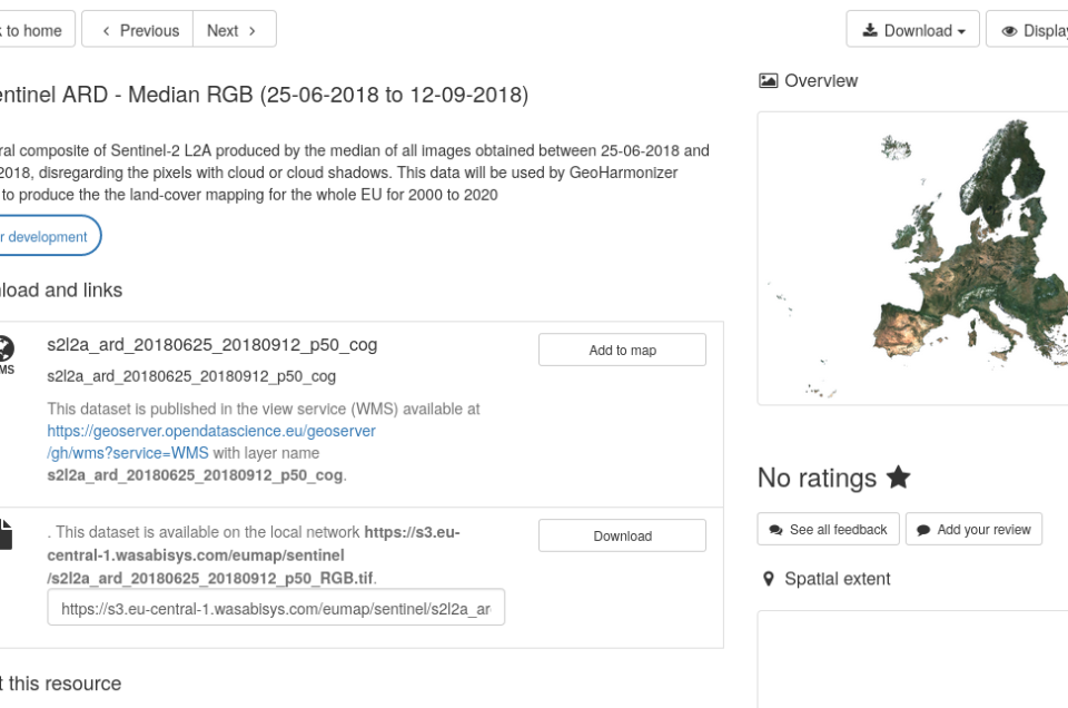
The geodatabases (Cloud-Optimized GeoTIFFs for rasters, Web Feature Service / PostGIS for vectors) are now available for viewing via the metadata catalog https://data.opendatascience.eu/geonetwork/. The Geo-harmonizer geodatabases are installed on high capacity dedicated servers with 8TB SDD; the file-service based on Cloud-Optimized GeoTIFF technology is highly suited to the purpose of this project (unlimited, cost-effective access to data layers). OGC web services (WMS and WFS) are also provided via our own installation of GeoServer. The instructions to access the geodatabase are available here. In the coming months we will be uploading thousands of new layers and make them publicly available. We plan to upload ca 10TB of data to Geoserver, as Cloud-Optimized GeoTIFFs and as PostGIS layers by 1st of June 2021. Beyond that we also hope to release a Cloud-Optimized service for vector data, most likely based on the FlatGeobuf.
Access the metadata catalog: https://data.opendatascience.eu/geonetwork/
Access the data tutorials: Jupyter notebooks
![]()


