Prepared by: MultiOne, OpenGeoHub, CTU in Prague and mundialis
Executive summary
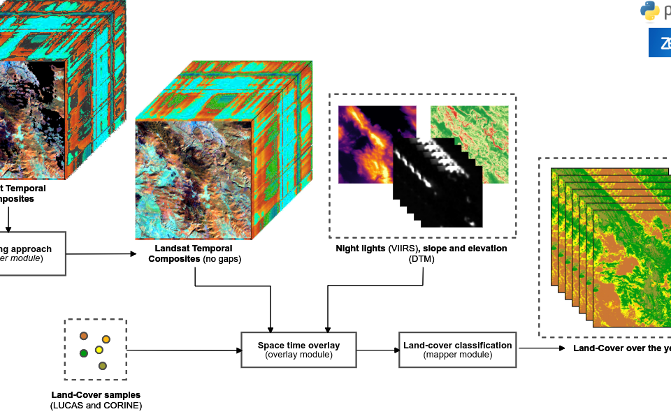
eumap is a generic software solution which wraps together functions for automated mapping, harmonization and generation of predictions using EO raster layers. The package can be accessed via: https://gitlab.com/geoharmonizer_inea/eumap/.
It includes Python library “eumap” which can be used to do scalable spatiotemporal overlay using GDAL, fill in gaps and remove artifacts in the EO data (Landsat, Sentinel), and train machine learning models.
Other target functionality includes:
- Standard legends and metadata for the project outputs (i.e. land cover legends, environmental quality indicators etc),
- Automated harmonization/conversion of data,
- Easy access (for developers) to all layers produced by the Geo-harmonizer project (PostGIS DBs and Cloud-Optimized GeoTIFF),
- Optimized spatial overlay, Ensemble Machine Learning and prediction,
- Automated generation of mosaics and export of data,
- Tutorials for basic users and advanced developers,


