Prepared by: OpenGeoHub, mundialis and Terrasigna
Executive summary
We have prepared the following list of layers:
- Density of building areas according to OSM (2021) and Copernicus (impervious built-up – 2018);
- Density of commercial, industrial and residential buildings according to OSM (2021);
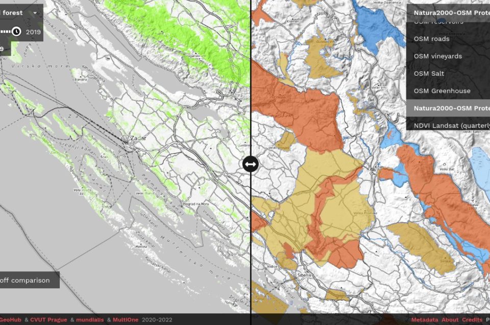
- Harmonized protected areas derived from OSM (2021) and NATURA2000 (2019)
- Harmonized administrative areas (county-level) derived from OSM (2021) and NUTS (2021);
- Probabilities of 18 OSM land cover classes (2021);
- Density of highways and railways according to OSM (2021);
The layers were prepared at 10-m spatial resolution, then aggregated to 30-m spatial resolution to produce density/probability maps that are compatible with other products and cover the same coverage. All processing was implemented using python in combination with GDAL and can be used to update the layers on a monthly basis.
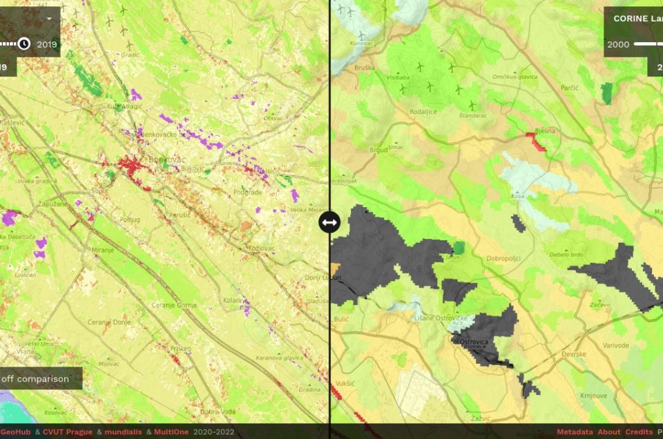
All layers are available publicly as Cloud-Optimized GeoTIFFs for download and for viewing from: https://maps.opendatascience.eu.

